Menu
  • Living Landscapes
  • Thirsty Cities
  • Heritage landscapes
  • Blog
  • About
  • Contact

Projects

My projects are focused on improving the spatial, ecological and social quality of landscapes in and around cities. Learning from and respecting the historical development and sense of space are key.

Room for the Rooi: A nature and heritage inspired water sensitive planning approach for Curaçao

Rooien and dams, a historical water system of ephemeral streams, were already cultivated in pre-columbian times. Rooi-systems are often neglected or disturbed during urbanisation and land use changes. This contributes to significant reduced water retaining capacity and increased flood risk during heavy rain. Because of their importance the integration and coherence with the rooi- and dam systems has become central to our heritage and nature based water sensitive planning strategy.

Thirsty Cities | The invisible water system of Curaçao

Fresh water systems in Caribbean small island states are particularly vulnerable to the effects of the climate crises. With limited fresh water resources longer periods of drought and irregular patterns of extreme rainfall and storms will result in increased risks of water shortages and floods. A historical water system of ephemeral streams, often neglected and disturbed during urbanisation and land use change, could help improve water resilience.

Inspiratieboek Transformatie recreatieterreinen Kop van Goeree

Door de gebrekkige relatie tussen het omringende landschap en campings en huisjesparken gaat de kwaliteit en identiteit van het landschap vaak verloren. In opdracht van de gemeente Goeree-Overflakkee wordt gewerkt aan een ontwerpwijzer voor de Kop van Goeree. Een zeer waardevol en divers landschap met strandpolders, duinen en zandwallen.

Project funding for Thirsty Cities: Case study Curaçao

The research proposal Thirsty Cities - Curaçao has been rewarded with funding from the Creative Industry Fund NL. Because of the historical connection with the (former) Netherlands Antilles and its fresh water challenges as small island states at the forefront of climate change this design study focuses on the integration of nature- and heritage-based designs solution in spatial developments for a resilient future on the island state of Curaçao.

Circular Water Stories

The research project Circular Water Stories explores what we can learn from historical water systems in terms of the interaction and engagement between people & water, when building resilient and valuable waterscapes for the future. The project is funded by NWO / KIEM.

Thirsty Cities Research Project

HOW THE THIRST FOR WATER SHAPED AND STILL SHAPES OUR CITIES

An investigation into the landscape architecture of objects, artefacts, structures and systems for freshwater supply and their potential for water stressed cities

Lines in the Landscape | Grevelingenmeer

The Grevelingenmeer, the largest saltwater lake of Western Europe, is located in the south-western delta estuary of the Netherlands is the largest saltwater lake of Western Europe. In this vision the visibility of the local landscapes is emphasized and made visible and tangible. The Grevelingen area is both a nature area and of economic importance for the oyster and tourism industry

Fashion Village Bandung

Welcome to the Fashion Village develops a strategy to improve the homes and neighborhoods of industrial worker communities in Bandung (number 1 textile region of Indonesia) using a circular and cooperative development approach.

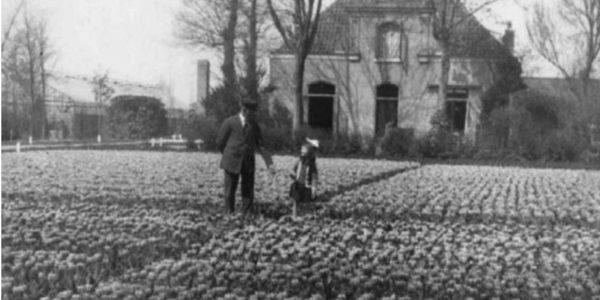
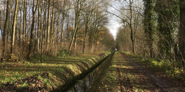
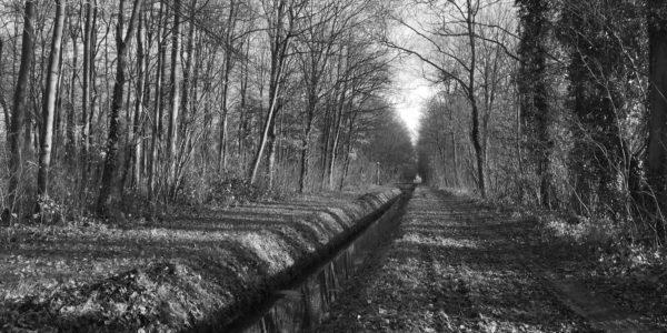
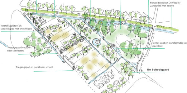
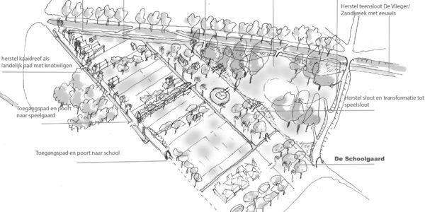
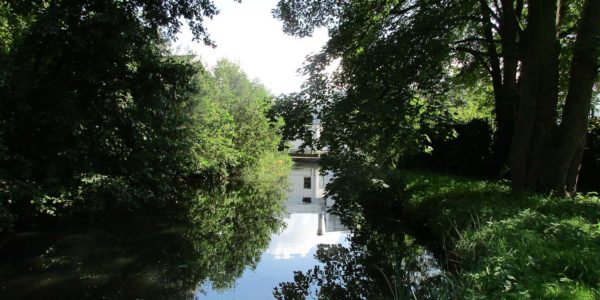
Historical gardens of Warmond

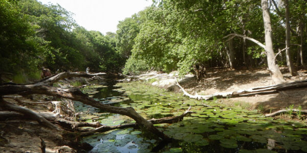
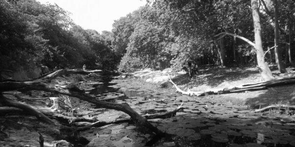
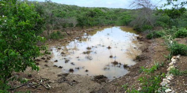
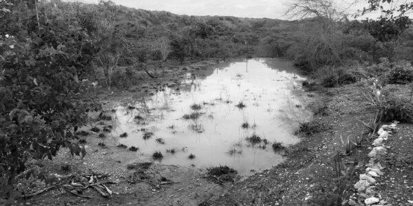
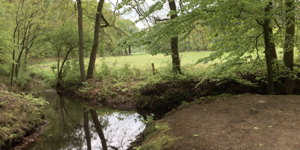
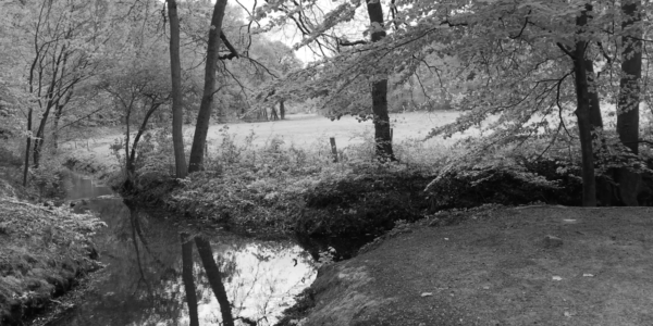
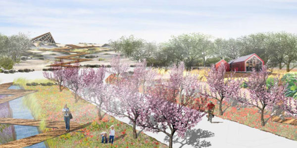
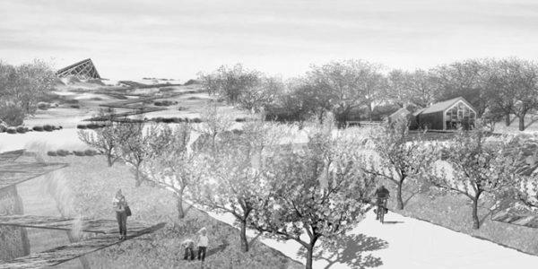
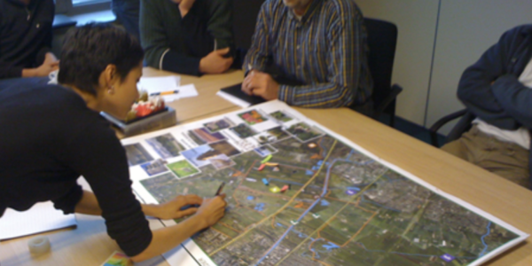
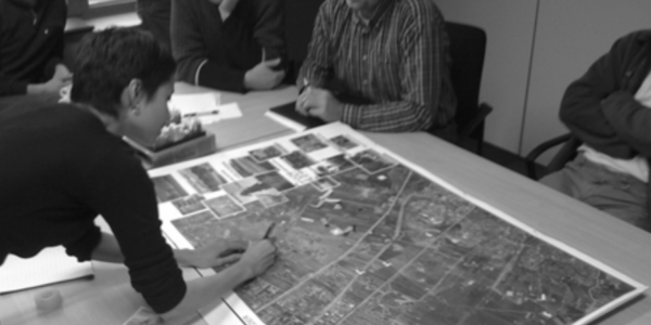
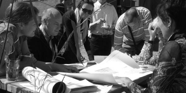
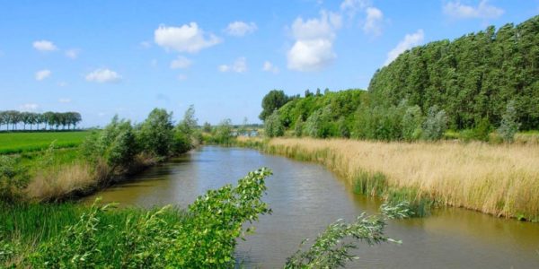
This research for the municipality of Teylingen focuses on three historical green structures. The Munnikenbos, a wet woodland, Hagheweyde, a garden estate, and Lommerlust, a farm and pleasure garden. These green structures are typical for this area on an old sandridge between the coast and the peat district. They contribute to the quality and identity of the area but have been neglected and affected by housing developments. By interconnecting these green areas and replanting and managing them with local species and methods this green heritage can be preserved while contributing to the spatial quality of Warmond.

Historical green and water-structures analyses of Middelharnis and Sommelsdijk

These 'twin' villages are located on the banks of the River Haringvliet on the island of Overflakkee. Typically the historical centres are called 'sleuteldorpen' (key village) as the shape resembles a key. Due to continued sedimentation the old 'ringpolders' were expanded with new land. Tidal creeks became part of the polder-water systems and its harbour canals were elongated to reach the river. This investigation of historical green and blue structures focuses on the historical villages as well as it's border.

Visie Gemeentetuin Middelharnis

A vision for the transformation of a historical pleasure garden and allotments in the town of Middelharnis proposes to respect and restore the old parcellation and water structures while programming the area with local initiatives

Ground Up City | Play as a Design Tool

How can cities become more childfriendly? By looking at the culture of play and the spatial and social characteristics of neighbourhoods we defined opportunities for play.

Historical Landscape of Ridderkerk

For the municipality of Ridderkerk I have analysed the historical green and blue structures. This town located south-east of Rotterdam on a crossing of the river Nieuwe Maas, Lek and Noord has a rich and divers character. It has historical shipyards on the riverfront, polders behind the high sea dikes with former tidal creeks and historical garden estates.

Urban Greening Strategy / Bloemhof Rotterdam

One of the most densely populated areas of the City of Rotterdam is lacking quality green space. This urban greening strategy investigates the local spatial characteristics and the needs of the community first.

Coastal Road Vision Ouddorp

The island of Goeree-Overflakkee on the South West Delta estuary has a unique landscape consisting of young dunes, old inland dunes, coastal polders and the 'old land' with zandwallen, elzen- en haaymeten. Between the old and new land a road creates a visual and spatial barrier. This vision transforms the road into a panoramic route that knits the different landscapes together.

Schieveense polder

The Schieveense polder provides a rural escape from the city of Rotterdam. Nature conservation, farming, living and recreation, how do we bring together all the different interests? With my partners of KRACHTGROEN we were asked to lead sessions with different parties to look at the spatial and programmatic opportunities.

Landwerk Walcheren – scenario’s for a rich and divers landscape

For Walcheren, a rural and touristic coastal region in the south-west wing of the Netherlands, we explored scenario’s to create a richer and more resilient landscape with agricultural, ecological and touristic opportunities.

Pedestrian Bridge Ouddorp

The crossing over the coastal to reach the dunes and beach needed to be more inviting. This bridge is an inviting crossing as well as modest landmark

Functioneel groen

How to implement green space in the early stage of planning to create green healthy cities and urban environments? KRACHTGROEN organised seminars in Tilburg and Sittard (NL) and Leuven and Oostrozebeke (BE) for the European Interregional project Functional Green.

Koningsplein Tilburg

For a huge open market square in Tilburg we developed a price winning greening and place making strategy in three different scenario's. Urban Survival, Green and Grey and Beergarten meets Bazaar.

Heritage Landscape of Korendijk | Hoeksche Waard

For the municipality of Korendijk, Hoeksche Waard, I made an assessment of the value of objects, elements, structures and ensembles of landscape. The ...

  • Living Landscapes
  • Thirsty Cities
  • Ecology & Economy
  • Blog
  • About
  • Contact